
Why it matters
The river recharges our groundwater
Water in the Kern River channel soaks into the riverbed and refills the groundwater basin that much of the county depends on.
1
The river flows through town
Water moves through the Kern River channel in Bakersfield.
2
The riverbed soaks it up
The riverbed is one of the best recharge areas in the basin.
3
The ground is refilled
Water in the channel today becomes water in the ground tomorrow.
4
The community benefits
Much of the water used in metropolitan Bakersfield comes from wells, and the river is a place to walk, bike and enjoy.
1.8 million acre-feetof water recharged into the groundwater basin by the Agency's Improvement District No. 4 since 1971
What changed
A long-term investment in the Kern River
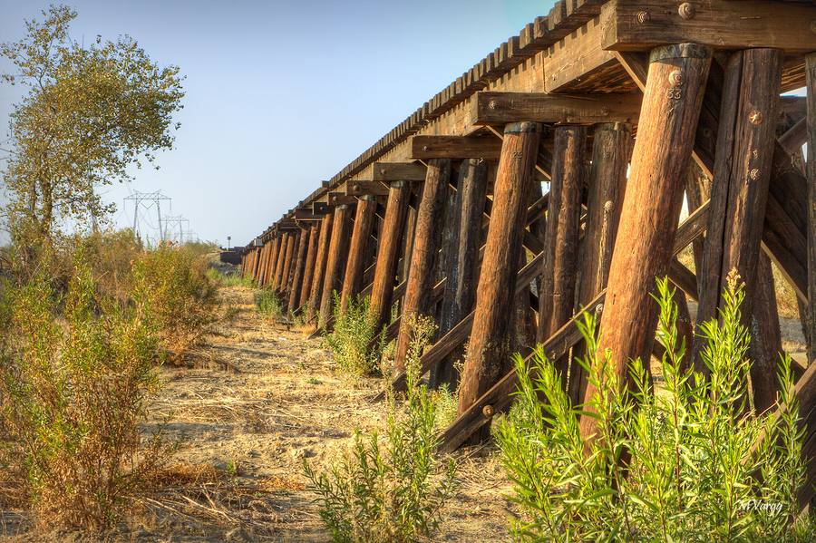 Most years from the mid-1950s
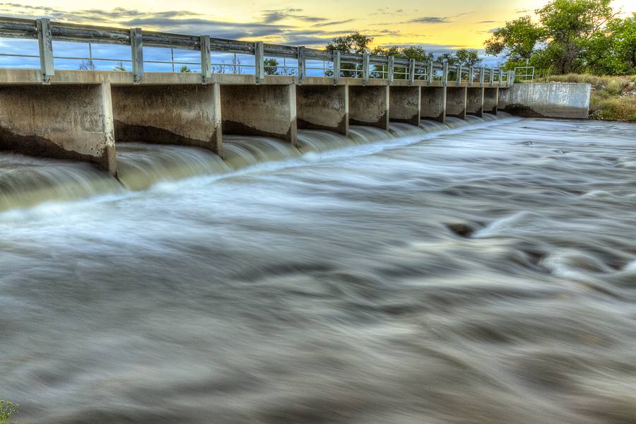 Today
1950s
River commonly dry
Upstream diversions leave the stretch through Bakersfield dry in most years, except wet years.
1971
A growing commitment to groundwater recharge
Since 1971, Improvement District No. 4 has recharged nearly 1.8 million acre-feet of water.
1999–
2000
2000
Parkway agreement and restoration
The Agency and the City sign the Parkway agreement, and a $23 million state grant funds the Lower River right, wells and pipelines.
Today
Multiple sources
Several water sources help maintain water in the river.
Learn more about this history
1999: Kern River Parkway Water Management Agreement
The Agency committed 7,500 acre-feet of its water for the holiday weekends in years when its State Water Project allocation is 50 percent or higher, and another 5,000 acre-feet for the summer recreation season at 70 percent or higher.
2000: Kern River Restoration and Water Supply Program
The Agency used a $23 million state grant to buy the Lower Kern River water right and build wells and pipelines. The program was designed to deliver up to 35,000 acre-feet a year to keep a 12-mile stretch from Manor Street to Allen Road wet from May through September.
How it works
Water comes from multiple sources
The Agency draws on three sources to help keep water in the river.
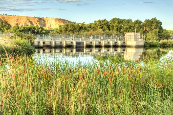
Kern River water
Improvement District No. 4
Kern River water delivered through the Agency's Improvement District No. 4.
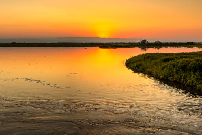
Wet years
Lower River floodwater
Floodwater from the Agency's Lower River right, as in 2011, 2017, 2019 and 2023.
Dry years too
State Water Project water
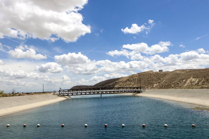
Imported water the Agency turns into the river through the Cross Valley Canal.
In wet years
The Agency's Lower River right produces water, roughly one year in four, and floodwater from that right goes into the river.
In dry years
The Agency's right produces no water, so the Agency turns State Water Project water into the river through the Cross Valley Canal, and wells recapture water that soaked into the channel and put it back in the river.
See the data
Water in the Kern River
A look at reported water delivered to the river from 2000 to 2025.
Explore annual water data →
Each bar shows the water reported delivered to the Kern River channel that year, by source. Hover or tap a year for details.
Agency: Kern River water
Agency: State Water Project water
City of Bakersfield
About the data
- Figures are in acre-feet. One acre-foot is about 326,000 gallons.
- Years marked * had fewer than 12 monthly reports available, so the figure understates the year. Complete reports are not available for 2015 and 2016.
- "Agency Kern River water" is Improvement District No. 4 Kern River water plus Lower River floodwater in the wet years of 2011, 2017, 2019 and 2023.
- Friant-Kern water is not counted for either the Agency or the City.
- Source: City of Bakersfield monthly Kern River Channel Operations reports, compiled by the Agency. Recharge figure: Improvement District No. 4 Report on Water Conditions.